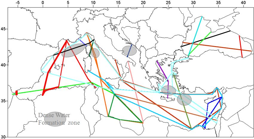
1. The theory
The TRANSMED program aims at monitoring the SSS and SST at the Mediterranean scale:
Legend: A potential network of routes for monitoring the surface Mediterranean with thermosalinometers (among which TRANSMED systems) aboard ships of opportunity. Each color corresponds to one route (one ship), and its repetition yields a time series.
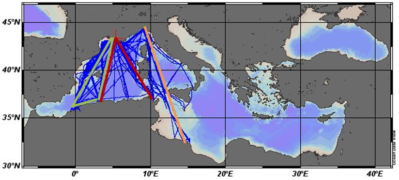
2.The reality (as of fall 2014)
Legend: The routes monitored from 2005 to 2014, using 4 ships of opportunity (among which 3 equipped with the TRANSMED system).
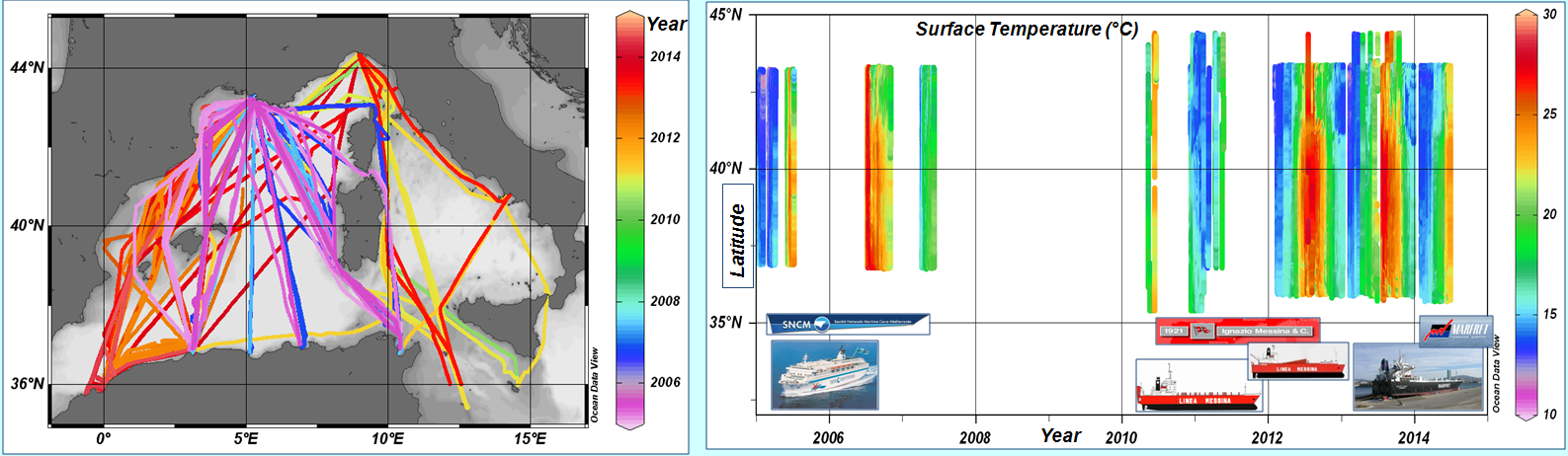
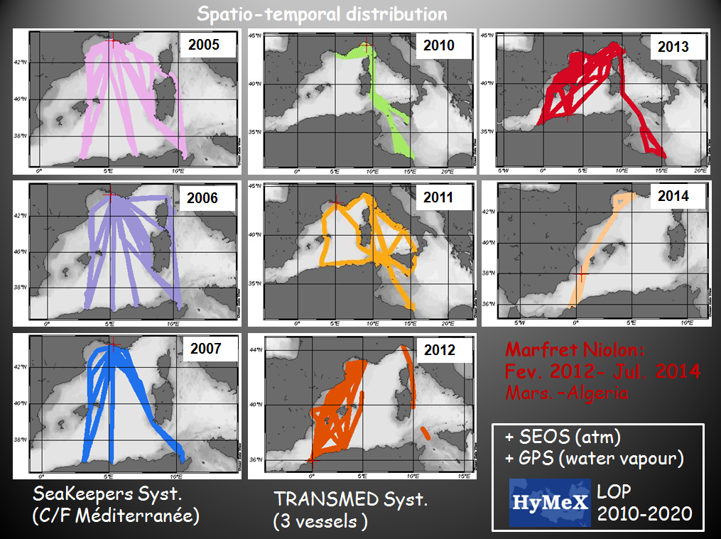
Legend: The spatio-temporal distribution of the routes surveyed during the successive phases of the TRANSMED program (left) and the resulting time series of temperature (right).
3. The ships
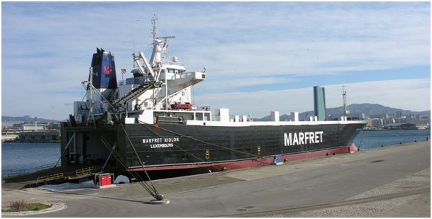
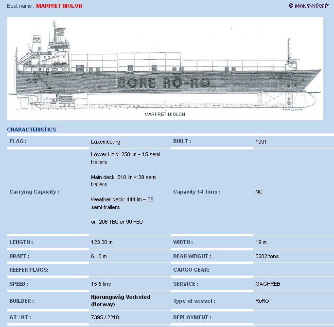
Marfret Niolon (2012-2014/assignment to another route)
Call sign to look for these data on Coriolis, Gosud ... databases : LXNR
N.B.
See also concurrent atmospherical parameters (SEOS)
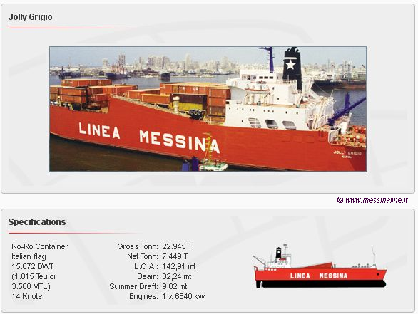
Jolly Grigio (2013)
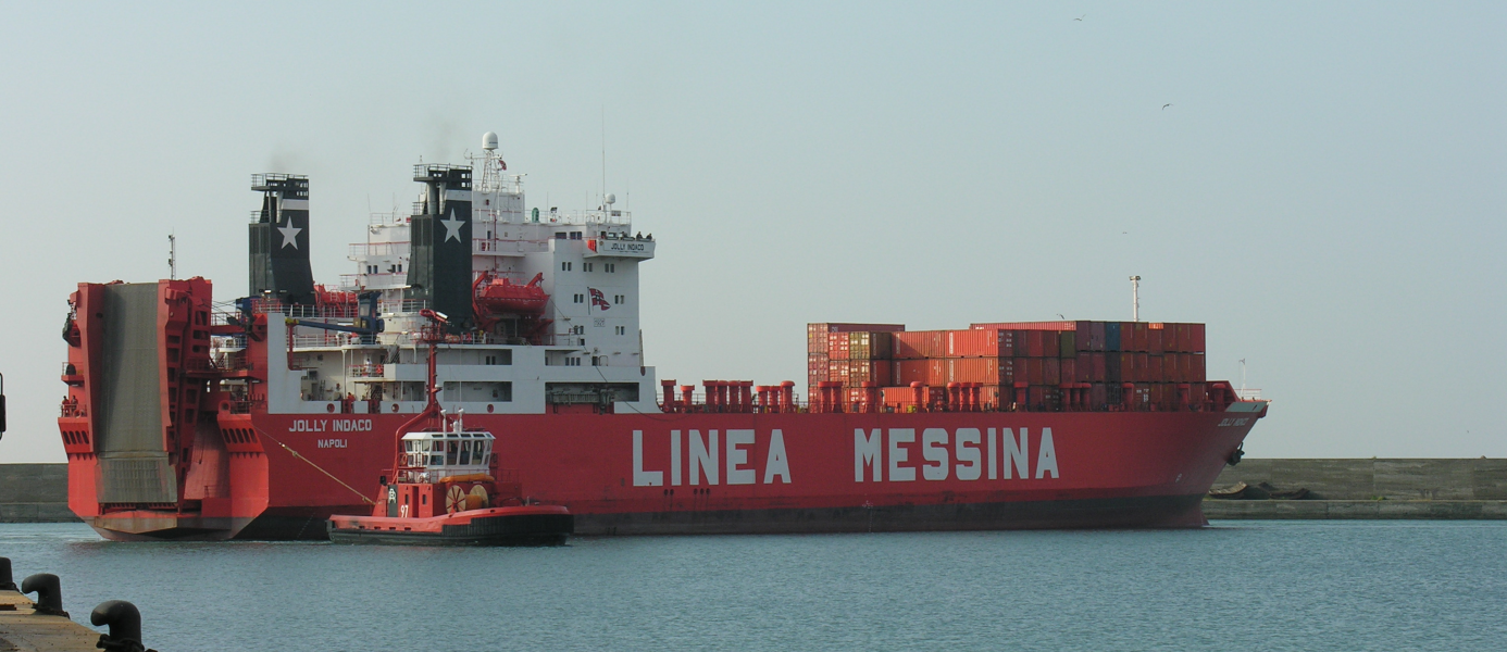
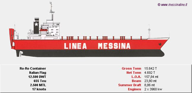
Jolly Indaco (2010-2013)
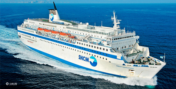
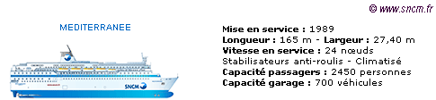
Méditerranée (2005-2007/ system removed)
4. More information
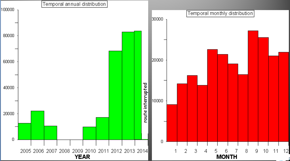
Legend: The yearly distribution of the routes surveyed during the successive phases of the TRANSMED program
N.B.
See also concurrent atmospherical parameters (SEOS)
Legend: The temporal distribution of the data set, as of fall 2014.